Restoration planning
Turn Survey Notes into a Repair Route
A survey becomes valuable when its findings can travel into the next decision. Connect visible conditions to building locations, follow-up questions and considered priorities—so the team can move from “what are we seeing?” to “what should happen next?”
Plan a survey view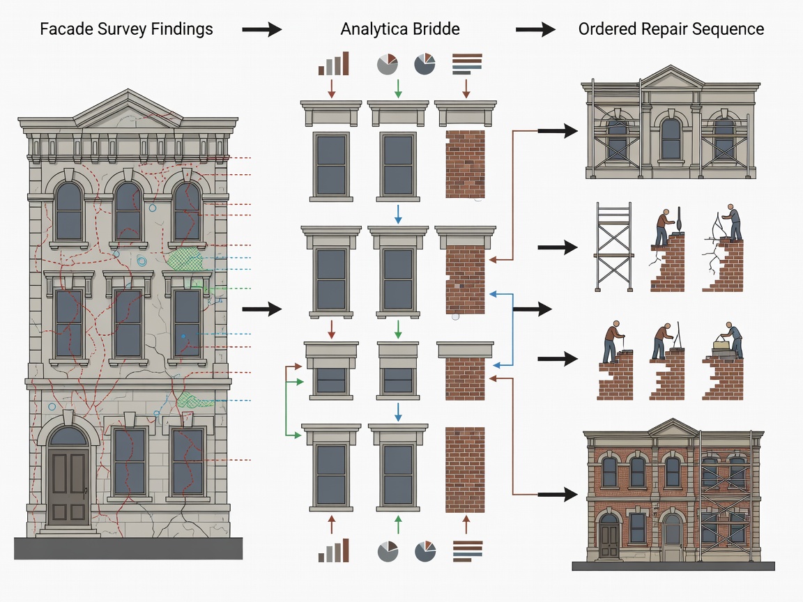
From evidence to sequence
Make the next steps visible
Drone imagery, 3D mapping and facade observations offer a useful foundation for planning conversations. Organise findings by location and theme, identify where more investigation is needed, and bring the right specialists into the discussion before a repair scope is set.
- Group observations by elevation, feature or material.
- Separate immediate questions from longer-term maintenance considerations.
- Highlight areas that need hands-on review or specialist advice.
- Use mapped references to connect project notes with the building.
A practical sequence
From survey findings to a considered route
- 1
Assemble
Bring imagery, mapped views and existing building information together.
- 2
Describe
Record what is visible, where it appears and what remains uncertain.
- 3
Prioritise
Discuss significance, access and further investigation with the project team.
- 4
Plan
Set out appropriate next actions and a sequence for developing the repair scope.
Keep decisions grounded
Let the right expertise lead
Aerial survey evidence informs planning; it does not prescribe repairs. Conservation, structural, materials and access considerations belong with suitably qualified professionals who can assess the building and advise on the work. A clear visual record helps those experts start from a shared understanding.
Plan with perspective
Give your team a clearer route from finding to next action.
Tell us what decisions your restoration survey needs to support.