3D mapping
Make the Elevation Legible
A facade is more than a flat plane. Three-dimensional mapping brings its projections, recesses and relationships into view, giving a project team a navigable reference for conversations about condition, scope and sequence.
Plan a survey view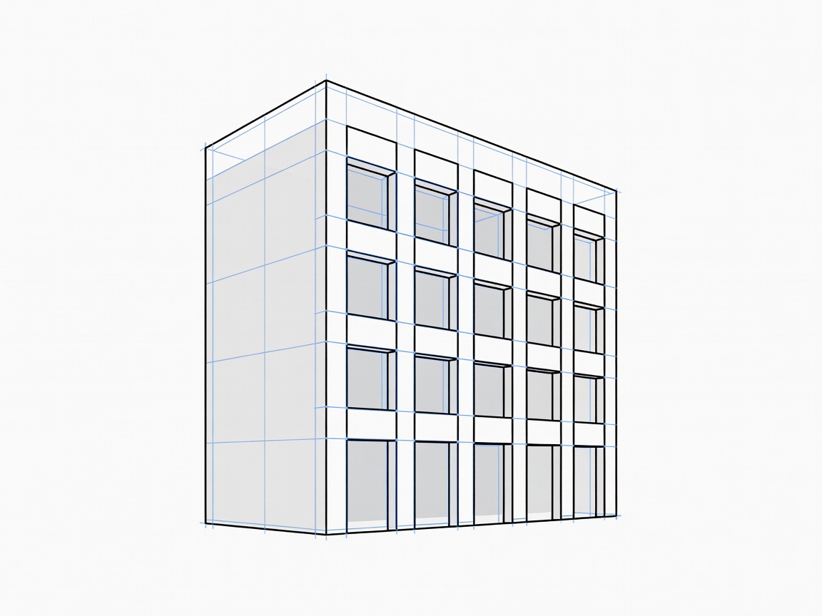
A shared spatial reference
Move from scattered images to a connected view
Overlapping survey photographs can be assembled into a model that helps viewers move across a building rather than interpret each image in isolation. The mapped surface can support orientation, review and communication—especially when the right people need to discuss the same area from different desks.
- Explore the relationship between architectural features.
- Keep observations connected to their position on the building.
- Use a consistent visual reference in project conversations.
- Support early scope discussions with a fuller view of the elevation.
Good inputs, useful outputs
Let the project question guide the model
Useful mapping begins with coverage planned for the building and the intended use of the result. Detail, viewing format and delivery expectations should be agreed before capture. A model helps make geometry easier to read; it is not, by itself, a diagnosis of hidden fabric or structural performance.
Make space for clarity
Give the project team a building they can navigate together.
Tell us what the model needs to help your team see.