Aerial inspection
Inspection from a New Vantage
Some of a building’s most telling details sit beyond comfortable eye level. A planned drone survey brings roof edges, upper masonry and recessed features into a considered visual record—without asking the project team to guess from the ground.
Plan a survey view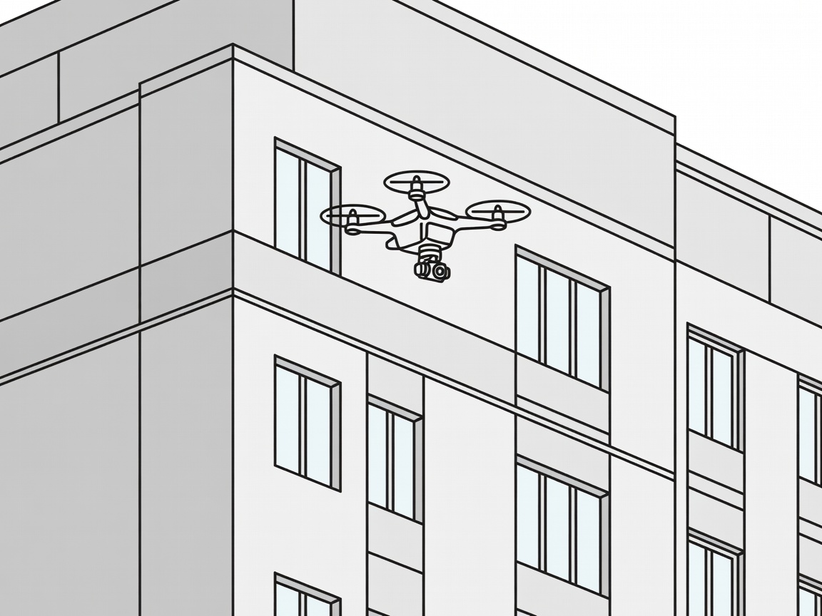
A deliberate image record
Look closely, keep the context
Aerial inspection is most useful when coverage answers a defined question. Images can help teams compare visible conditions across an elevation, review details that are awkward to access and decide where closer investigation may be worthwhile. The result is not simply a higher viewpoint; it is a more complete starting point for discussion.
- Capture rooflines, parapets, chimneys and upper-storey details.
- Record elevations in a consistent, reviewable sequence.
- Flag visible anomalies for follow-up by the appropriate specialist.
- Give owners and restoration professionals a shared visual reference.
From image to insight
What makes an inspection useful?
Begin with the building’s known history and the decisions ahead. A focused brief helps shape flight coverage, image review and reporting around the actual restoration questions. Aerial imagery supports professional assessment; it does not replace hands-on investigation where the fabric or risk calls for it.
Start with the question
Which part of the building needs a closer look?
Share the context and we can shape a survey view around it.